OpenNorthEast

Home Archive

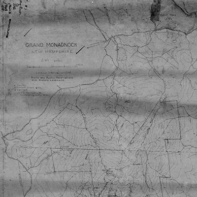
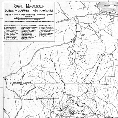
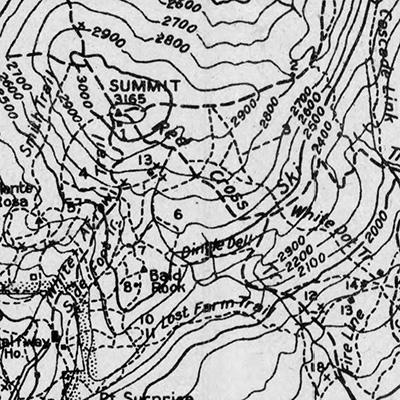
Monadnock Map Archive

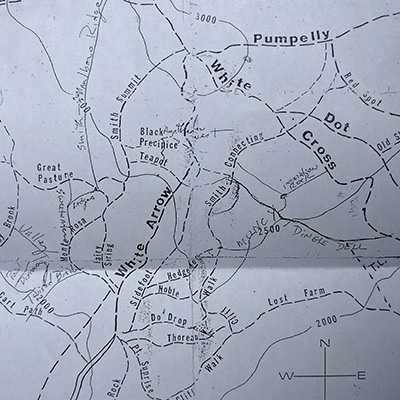
Allen Chamberlain's Maps

Maps of Monadnock that have their origins in Allen Chamberlain and later the Appalachian Mountain Club.
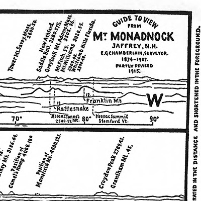
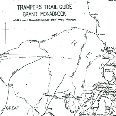
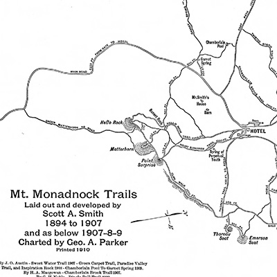
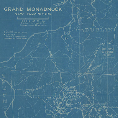
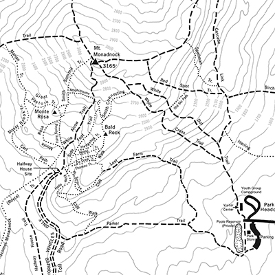
Thumbnail
1928 Chamberlain Map
Thumbnail
1930 Chamberlain Map
Thumbnail
1935 Viewer's Guide
Thumbnail
1936 Chamberlain Map
Thumbnail
Trampers' Trail Guide


Early Maps

Early maps of the mountain from various authors.
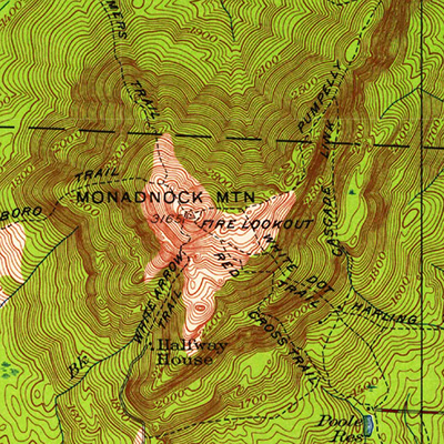
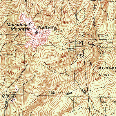
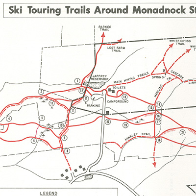
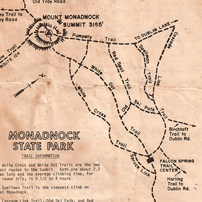
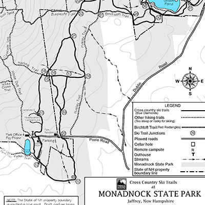
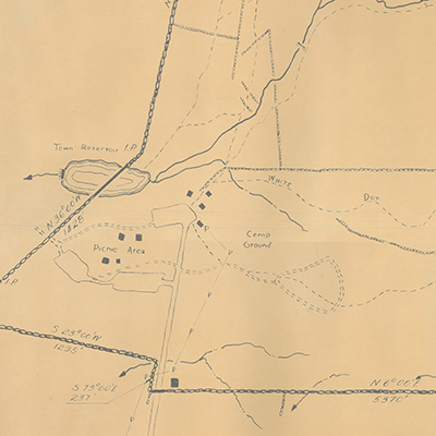
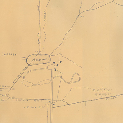
Thumbnail
1891 AMC Topographic
Thumbnail
1910 Scott A. Smith Map
Thumbnail
1916 E.J. Harling Map
Thumbnail
1922 Smyth Map
Thumbnail
1952 Whitaker Map


State Park Maps

Maps issued by the State Park for public use.
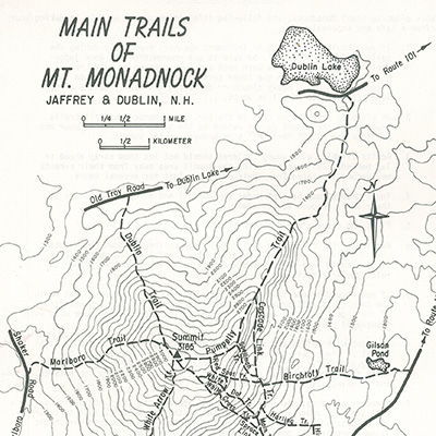
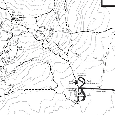
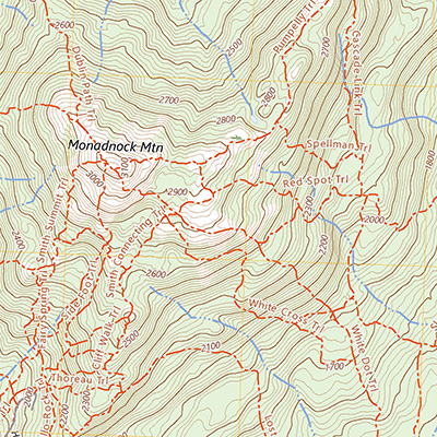
Thumbnail
1970s Ski Touring Map
Thumbnail
1979 State Park Map
Thumbnail
1981 State Park Map
Thumbnail
2010 State Park Map
Thumbnail
2011 Nordic Ski Trails Map
Thumbnail
2015 State Park Map


Modern Maps

Modern maps of the mountain.
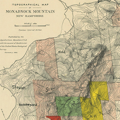
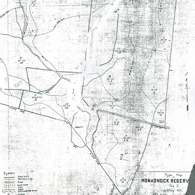
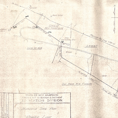
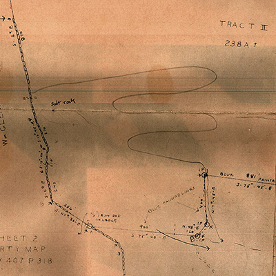
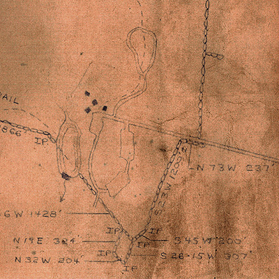
Thumbnail
1989 Ed Stark Map


Survey and Lot Maps

Survey maps related to the State Park or specific lots on or around the Monadnock reservation.
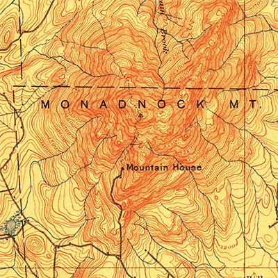
Thumbnail
1918 Type Survey Map
Thumbnail
1949 Powerlines
Thumbnail
1958 NHFRC
Thumbnail
1963 Hodgkins
Thumbnail
1974 Weld Lot Map
Thumbnail
1975 Belmore


USGS Maps

Maps issued by the United States Geological Survey. These maps retain some information on mountain trails, but are low fidelity compared to Monadnock specific maps.

Thumbnail
1898 USGS Map
Thumbnail
1949 USGS Topographic
Thumbnail
1984 USGS Topographic
Thumbnail
2024 USGS Map

OpenNorthEast.org 2025